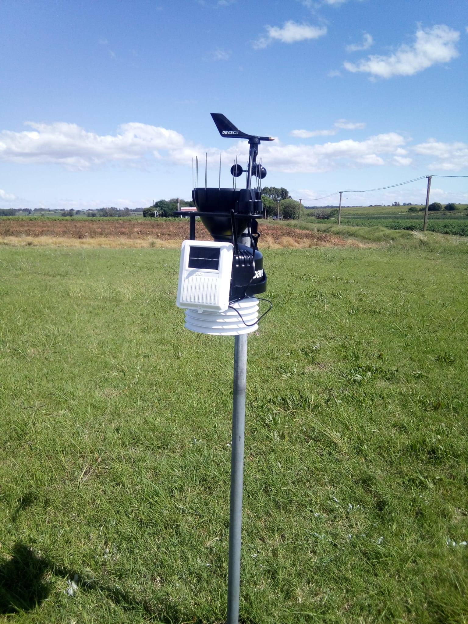
The recorded data are available at https://www.pwsweather.com/station/pws/iniadparodi?timespan=day&date=2022-06-06 They will make possible adjusting the ETo calculation and improving the estimation of the crops irrigation requirements.

Three hundreds farmers from the Puntas de Sarandí Cooperative, who cultivate approximately 500 hectares, will benefit directly. The geographical coordinates of the station are 34.66 S, 56.54 W and the height above sea level is 15 meters.
In addition to the benefits directly related to the project (that is, knowing the reference evapotranspiration and improving the estimation of the irrigation requirements of the crops in the pilot area), the station will provide additional services in the zone of influence, such as: estimating, according to the trends of the meteorological variables, whether there are predisposing conditions for the appearance of insects, pests or diseases; define the moment of harvesting of crops and pastures for silage or baling, according to the atmospheric humidity; define the right time to apply phytosanitary products, depending on the wind´s intensity and direction.
This meteorological station is the first to be installed in the areas of influence of the project in Uruguay, the second will be installed soon in the pilot area of Canelones.


